
There are 7 ways to get from Atlanta Airport (ATL) to Appalachian Trail plaque by subway, car, plane, rideshare, bus, or taxi
Select an option below to see step-by-step directions and to compare ticket prices and travel times in Rome2Rio's travel planner.
Subway, drive
best- Take the subway from Airport Station to North Springs Stationsubway Red
- Drive from North Springs Station to Appalachian Trail plaquecar
2h 33m$14–20Fly, drive
- Fly from Hartsfield-Jackson Atlanta International Airport (ATL) to Chattanooga Metropolitan Airport (CHA)plane ATL - CHA
- Drive from Chattanooga Metropolitan Airport (CHA) to Appalachian Trail plaquecar
2h 56m$94–628Airport Transfer
- Take the rideshare from Atlanta-ATL to Appalachian Trail plaque88.5 mi
2h 19mDrive 88.5 mi
- Drive from Atlanta Airport (ATL) to Appalachian Trail plaquecar 88.5 mi
2h 19m$17–24Subway, drive via Alpharetta
- Take the subway from Airport Station to North Springs Stationsubway Red
- Drive from Dryden Rd @ North Point Pkwy to Appalachian Trail plaquecar
2h 58m$14–20Subway, drive via Alpharetta #2
- Take the subway from Airport Station to North Springs Stationsubway Red
- Drive from North Point Pkwy @ 500 to Appalachian Trail plaquecar
3h 1m$14–20Bus, taxi
- Take the bus from Ponce De Leon Ave at W Peachtree St to Cumming Park and Ridebus 400
- Take the taxi from Cumming Park and Ride to Appalachian Trail plaquetaxi
3h 48m$146–186
Hartsfield-Jackson Atlanta International Airport (ATL) to Chattanooga Metropolitan Airport (CHA) flights
Questions & Answers
The cheapest way to get from Atlanta Airport (ATL) to Appalachian Trail plaque is to subway and drive which costs $13 - $20 and takes 2h 33m.
The fastest way to get from Atlanta Airport (ATL) to Appalachian Trail plaque is to drive which takes 2h 19m and costs $16 - $24.
The distance between Atlanta Airport (ATL) and Appalachian Trail plaque is 88 miles. The road distance is 89.1 miles.
The best way to get from Atlanta Airport (ATL) to Appalachian Trail plaque without a car is to Airport Transfer which takes 2h 19m and costs .
It takes approximately 2h 33m to get from Atlanta Airport (ATL) to Appalachian Trail plaque, including transfers.
Yes, the driving distance between Atlanta Airport (ATL) to Appalachian Trail plaque is 89 miles. It takes approximately 2h 19m to drive from Atlanta Airport (ATL) to Appalachian Trail plaque.
There are 122+ hotels available in Appalachian Trail plaque.
Check out Blablacar's carpooling service for rideshare options between Atlanta Airport (ATL) and Appalachian Trail plaque. A great option if you don't have a driver's licence or want to avoid public transport.
What companies run services between Atlanta Airport (ATL), USA and Appalachian Trail plaque, GA, USA?
There is no direct connection from Atlanta Airport (ATL) to Appalachian Trail plaque. However, you can take the subway to North Springs Station then drive to Appalachian Trail plaque. Alternatively, you can fly to Chattanooga Metropolitan Airport (CHA) then drive to Appalachian Trail plaque.
- Website
- delta.com
Flights from Hartsfield-Jackson Atlanta International Airport to Chattanooga Metropolitan Airport
- Ave. Duration
- 56 min
- When
- Every day
- Estimated price
- $75–650
- Phone
- +1 404-848-5000
- Website
- itsmarta.com
Subway from Airport Station to North Springs Station
- Ave. Duration
- 46 min
- Frequency
- Every 20 minutes
- Estimated price
- $3
- Schedules at
- itsmarta.com
Subway from Airport Station to North Springs Station
- Ave. Duration
- 46 min
- Frequency
- Every 20 minutes
- Estimated price
- $3
- Schedules at
- itsmarta.com
Subway from Airport Station to North Springs Station
- Ave. Duration
- 46 min
- Frequency
- Every 20 minutes
- Estimated price
- $3
- Schedules at
- itsmarta.com

- Phone
- +1 844-977-7742
- Website
- Xpress Georgia
Bus from Ponce De Leon Ave at W Peachtree St to Cumming Park and Ride
- Ave. Duration
- 1h
- Frequency
- Once daily
- Estimated price
- $4
- Website
- Xpress Georgia
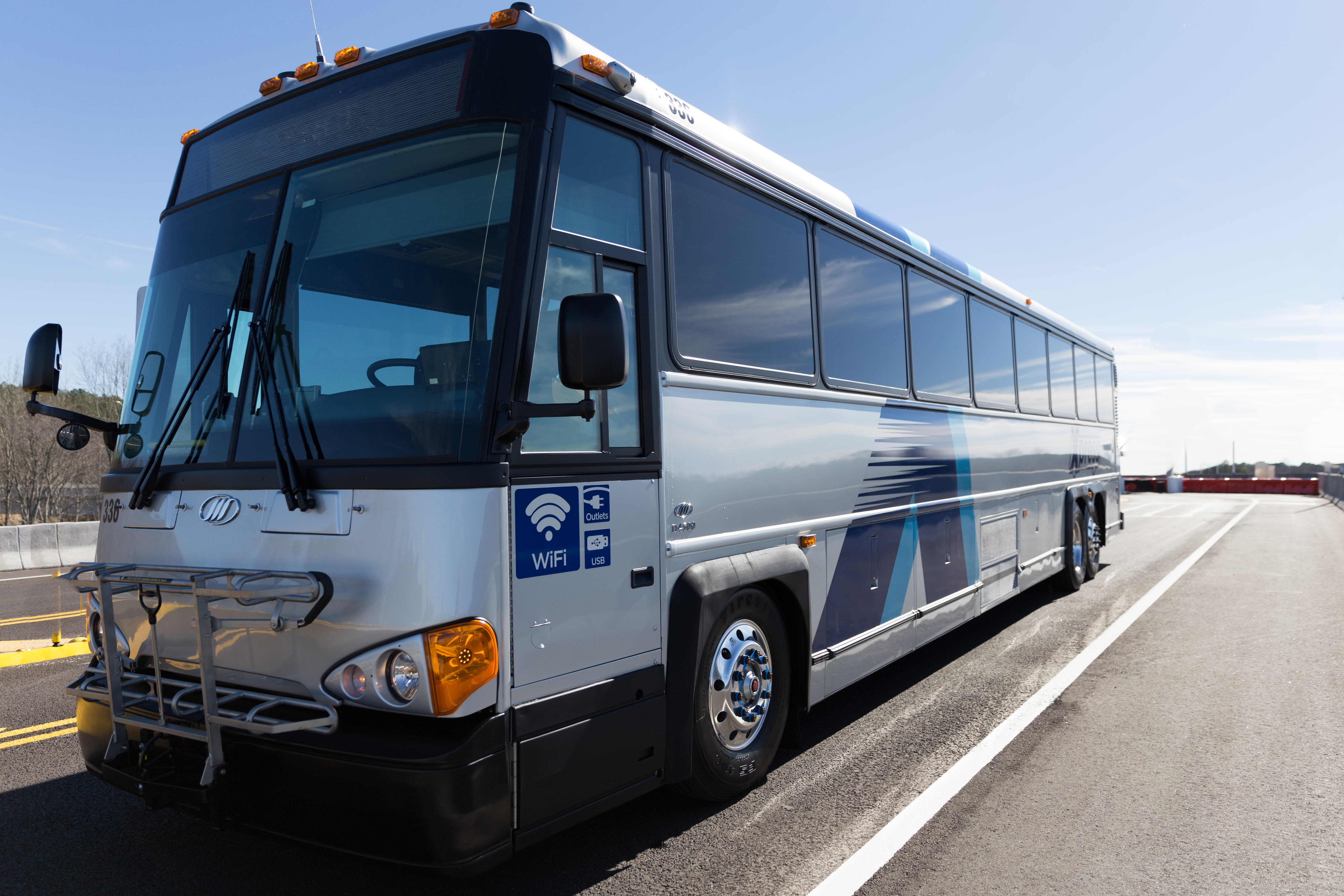

- Website
- https://www.mozio.com
Rideshare from Atlanta-ATL to Appalachian Trail plaque
- Ave. Duration
- 2h 19m
- Frequency
- On demand
- Ave. Duration
- 1h 27m
- Estimated price
- $140–180
First Class Taxicab
- Phone
- +1-678-937-6562
- Website
- firstclasstaxicab.com
Roswell Taxi
- Phone
- +1-770-744-4992
Pathway Taxi
- Phone
- +1-404-477-7868
- Website
- pathwaytaxi.com
Want to know more about travelling around United States
Rome2Rio's Travel Guide series provide vital information for the global traveller. Filled with useful and timely travel information, the guides answer all the hard questions - such as 'How do I buy a ticket?', 'Should I book online before I travel? ', 'How much should I expect to pay?', 'Do the trains and buses have Wifi?' - to help you get the most out of your next trip.
Related travel guides
Travelling to the US: What do I need to know?
Read the travel guide