


There are 4 ways to get from Clarke Quay to Aft Koon Seng Rd by bus, subway, taxi, or foot
Select an option below to see step-by-step directions and to compare ticket prices and travel times in Rome2Rio's travel planner.
Clarke Quay to Aft Koon Seng Rd by subway and foot
Comparing Your Travel Options
The cheapest way to get from Clarke Quay to Aft Koon Seng Rd is to line 33 bus which costs $1 and takes 32 min.
The fastest way to get from Clarke Quay to Aft Koon Seng Rd is to taxi which takes 9 min and costs $7 - $10.
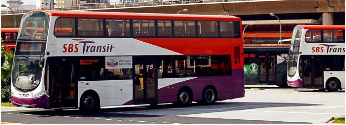
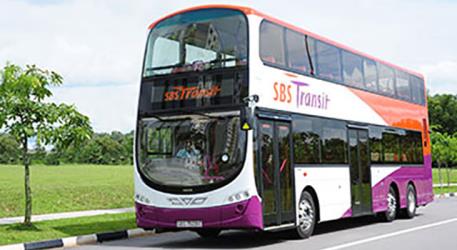
Yes, there is a direct bus departing from Clarke Quay Stn Exit E and arriving at Aft Koon Seng Rd. Services depart every 15 minutes, and operate every day. The journey takes approximately 32 min.
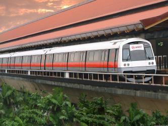
Yes, there is a direct train departing from City Hall and arriving at Eunos. Services depart every 10 minutes, and operate every day. The journey takes approximately 14 min.
The distance between Clarke Quay and Aft Koon Seng Rd is 8 km.
The best way to get from Clarke Quay to Aft Koon Seng Rd without a car is to line 33 bus which takes 32 min and costs $1.
The line 33 bus from Clarke Quay Stn Exit E to Aft Koon Seng Rd takes 32 min including transfers and departs every 15 minutes.
Clarke Quay to Aft Koon Seng Rd bus services, operated by SBS Transit, depart from Clarke Quay Stn Exit E station.
Clarke Quay to Aft Koon Seng Rd train services, operated by SMRT, depart from City Hall station.
Clarke Quay to Aft Koon Seng Rd bus services, operated by SBS Transit, arrive at Aft Koon Seng Rd station.
What companies run services between Clarke Quay, Singapore and Aft Koon Seng Rd, Singapore?
SBS Transit operates a bus from Clarke Quay Stn Exit E to Aft Koon Seng Rd every 15 minutes. Tickets cost $1 and the journey takes 32 min. Alternatively, SMRT operates a subway from City Hall to Eunos every 10 minutes. Tickets cost $1–2 and the journey takes 14 min.
- Phone
- 1800 336 8900
- Website
- SMRT
Subway from City Hall to Eunos
- Ave. Duration
- 14 min
- Frequency
- Every 10 minutes
- Estimated price
- $1–2
- Website
- SMRT


- Phone
- 1800 - 287 2727
- [email protected]
- Website
- SBS Transit
Bus from Clarke Quay Stn Exit E to Aft Koon Seng Rd
- Ave. Duration
- 32 min
- Frequency
- Every 15 minutes
- Estimated price
- $1
- Website
- SBS Transit
- Ave. Duration
- 9 min
- Estimated price
- $7–10
Comfort Delgro
- Phone
- +65 6550 8668
- Website
- cdgtaxi.com.sg
Prime Taxi
- Phone
- +65 6898 2000
- Website
- primetaxi.sg
STRIDES Premier
- Phone
- +65 6555 8888
- Website
- stridespremier.com.sg
Trans-cab
- Phone
- +65 6287 6666
- Website
- transcab.com.sg
Want to know more about travelling around the world?
Rome2Rio's Travel Guide series provide vital information for the global traveller. Read our range of informative guides on popular transport routes and companies - including Which side of Niagara Falls should I choose (and how do I get there)?, Need to know: Greyhound, and How to get from Florence to Rome - to help you get the most out of your next trip.
Booking & Getting There
Clarke Quay to Aft Koon Seng Rd train services, operated by SMRT, arrive at Eunos station.
There are 2083+ hotels available in Aft Koon Seng Rd.