
There are 5 ways to get from Jung-gu to Mapo by train, taxi, car, foot, or subway
Select an option below to see step-by-step directions and to compare ticket prices and travel times in Rome2Rio's travel planner.
Train
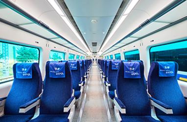
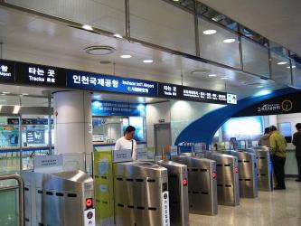
best- Take the train from Seoul Station to Digital Media City Stationtrain All stop Seoul
12 minSubway
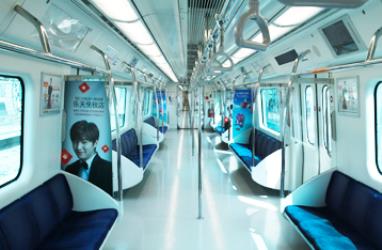
cheapest- Take the subway from Euljiro 3-ga Station to Hongik Univ. Stationsubway 2-Light Green
13 min₩1,500–2,100Taxi
- Take the taxi from Jung-gu to Mapotaxi 9.7 km
10 min₩13,000–17,000Drive 9.7 km
- Drive from Jung-gu to Mapocar 9.7 km
10 min₩1,980–2,860Walk
- Take the walk from Jung-gu to Mapowalk 10 km
2h
Questions & Answers
The cheapest way to get from Jung-gu to Mapo is to subway which costs ₩1,500 - ₩2,100 and takes 13 min.
The fastest way to get from Jung-gu to Mapo is to taxi which takes 10 min and costs ₩13,000 - ₩17,000.
Yes, there is a direct train departing from Seoul Station station and arriving at Digital Media City Station station. Services depart every 10 minutes, and operate every day. The journey takes approximately 12 min.
The distance between Jung-gu and Mapo is 10 km. The road distance is 9.7 km.
The best way to get from Jung-gu to Mapo without a car is to train which takes 12 min and costs .
The train from Seoul Station to Digital Media City Station takes 12 min including transfers and departs every 10 minutes.
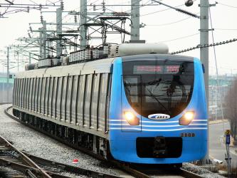
Jung-gu to Mapo train services, operated by AREX, depart from Seoul Station.
Jung-gu to Mapo train services, operated by AREX, arrive at Digital Media City Station.
Yes, the driving distance between Jung-gu to Mapo is 10 km. It takes approximately 10 min to drive from Jung-gu to Mapo.
There are 5393+ hotels available in Mapo.
What companies run services between Jung-gu, Seoul, South Korea and Mapo, South Korea?
AREX operates a train from Seoul Station to Digital Media City Station every 10 minutes, and the journey takes 12 min.
- Phone
- +82 1599 7788
- Website
- Arex
Train from Seoul Station to Digital Media City Station
- Ave. Duration
- 12 min
- Frequency
- Every 10 minutes
- Website
- Arex
- Phone
- +82 1577 1234
- Website
- seoulmetro.co.kr
Subway from Euljiro 3-ga Station to Hongik Univ. Station
- Ave. Duration
- 13 min
- Frequency
- Every 5 minutes
- Estimated price
- ₩1,500–2,100
- Schedules at
- seoulmetro.co.kr


- Ave. Duration
- 10 min
- Estimated price
- ₩13,000–17,000
International Taxi
- Phone
- +82 1644 2255
- Website
- intltaxi.co.kr
Kakao taxi
- Website
- kakaocorp.com
Want to know more about travelling around the world?
Rome2Rio's Travel Guide series provide vital information for the global traveller. Read our range of informative guides on popular transport routes and companies - including Is ride-sharing platform BlaBlaCar right for you?, Want to know more about Flixbus?, and How to get from London to Edinburgh - to help you get the most out of your next trip.