
There are 7 ways to get from Palo Alto to Carson City by plane, bus, subway, train, car, or bus (Greyhound)
Select an option below to see step-by-step directions and to compare ticket prices and travel times in Rome2Rio's travel planner.
Fly from San Francisco International Airport, bus
best- Fly from San Francisco International Airport (SFO) to Reno/Tahoe International Airport (RNO)plane SFO - RNO
- Take the bus from RTC TRANSFER CENTER and Meadowood Mall to Washington Street and W Plaza Streetbus
5h 18m$258–498Drive 220.4 mi
cheapest- Drive from Palo Alto to Carson Citycar 220.4 mi
4h 42m$41–59Bus
- Take the bus from San Jose Park and Ride to Heavenly Valley Ski Lodgebus Heavenly Ski Lodge
- Take the bus from Stateline Transit Center to Douglas County Community/Senior Centerbus 22
9h 39m$134–142BART, train, bus
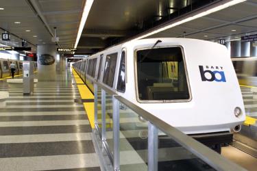
- Take the subway from Millbrae to Richmondsubway
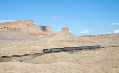
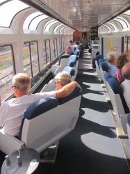
- Take the train from Richmond to Renotrain
- Take the bus from RTC 4th STREET STATION Bay R 4SS to Washington Street and W Plaza Streetbus
11h 50m$140–228Fly from Norman Y. Mineta San José International Airport, bus
- Fly from Norman Y. Mineta San José International Airport (SJC) to Reno/Tahoe International Airport (RNO)plane SJC - RNO
- Take the bus from RTC TRANSFER CENTER and Meadowood Mall to Washington Street and W Plaza Streetbus
5h 20m$372–569Bus via San Francisco
- Take the bus from E Bayshore Rd & Donohoe St to Salesforce Transit Center- Bay 37bus Epx
- Take the bus from San Francisco Bus Station to Reno Amtrakbus
- Take the bus from RTC 4th STREET STATION Bay R 4SS to S Stewart Street at Supreme Courtbus
10h 26m$44–67Train, bus
- Take the train from Santa Clara Amtrak to Sacramentotrain
- Take the bus from Sacramento to Renobus
- Take the bus from RTC 4th STREET STATION Bay R 4SS to Washington Street and W Plaza Streetbus
10h 33m
Palo Alto to Carson City by train, subway, and bus
Comparing Your Travel Options
The cheapest way to get from Palo Alto to Carson City is to drive which costs $40 - $60 and takes 4h 42m.
The fastest way to get from Palo Alto to Carson City is to drive which takes 4h 42m and costs $40 - $60.
No, there is no direct bus from Palo Alto to Carson City. However, there are services departing from San Jose Park and Ride and arriving at Stewart St. between 2nd and 3rd St- NB via Stateline Transit Center and Douglas County Community/Senior Center. The journey, including transfers, takes approximately 9h 39m.
The distance between Palo Alto and Carson City is 243 miles. The road distance is 221.7 miles.
The best way to get from Palo Alto to Carson City without a car is to bus which takes 9h 39m and costs $130 - $145.
It takes approximately 5h 18m to get from Palo Alto to Carson City, including transfers.
Palo Alto to Carson City bus services, operated by Tahoe Ski Trips, depart from San Jose Park and Ride station.
Palo Alto to Carson City bus services, operated by Tahoe Ski Trips, arrive at Heavenly Valley Ski Lodge station.
Yes, the driving distance between Palo Alto to Carson City is 222 miles. It takes approximately 4h 42m to drive from Palo Alto to Carson City.
There are 369+ hotels available in Carson City.
What companies run services between Palo Alto, CA, USA and Carson City, NV, USA?
You can take a train from California Avenue Caltrain Southbound to Stewart St. between 2nd and 3rd St- NB via Tamien Caltrain Southbound, San Jose Park and Ride, Heavenly Valley Ski Lodge, Stateline Transit Center, and Douglas County Community/Senior Center in around 9h 39m.
- Website
- united.com
Flights from San Francisco International Airport to Reno/Tahoe International Airport
- Ave. Duration
- 1h 7m
- When
- Every day
- Estimated price
- $30–240
- Website
- southwest.com
Flights from Norman Y. Mineta San José International Airport to Reno/Tahoe International Airport
- Ave. Duration
- 1h 5m
- When
- Monday, Thursday, Friday, and Sunday
- Estimated price
- $35–280
- Phone
- +1-510-464-6000
- Website
- BART
Subway from Millbrae to Richmond
- Ave. Duration
- 1h 14m
- Frequency
- Every 30 minutes
- Estimated price
- $12–16
- Website
- BART
- Adult Single Ride
- $12–16

Rome2Rio's guide to Amtrak
Contact DetailsContact Details
- Phone
- +1 800-872-7245
- Website
- Amtrak
Train from Richmond to Reno
- Ave. Duration
- 6h 52m
- Frequency
- Once daily
- Estimated price
- $120–200
- Website
- Amtrak
Train from Santa Clara Amtrak to Sacramento
- Ave. Duration
- 3h 8m
- Frequency
- Every 4 hours
- Estimated price
- $70–120
- Website
- Amtrak

Bus from RTC TRANSFER CENTER and Meadowood Mall to Washington Street and W Plaza Street
- Ave. Duration
- 42 min
- Frequency
- 4 times a day
- Estimated price
- $2–5
- Website
- Regional Transportation Commission of Washoe County
Bus from RTC 4th STREET STATION Bay R 4SS to Washington Street and W Plaza Street
- Ave. Duration
- 56 min
- Frequency
- 4 times a day
- Estimated price
- $2–5
- Website
- Regional Transportation Commission of Washoe County
Bus from RTC TRANSFER CENTER and Meadowood Mall to Washington Street and W Plaza Street
- Ave. Duration
- 42 min
- Frequency
- 4 times a day
- Estimated price
- $2–5
- Website
- Regional Transportation Commission of Washoe County
Bus from RTC 4th STREET STATION Bay R 4SS to S Stewart Street at Supreme Court
- Ave. Duration
- 58 min
- Frequency
- 4 times a day
- Estimated price
- $2–5
- Website
- Regional Transportation Commission of Washoe County
Bus from RTC 4th STREET STATION Bay R 4SS to Washington Street and W Plaza Street
- Ave. Duration
- 56 min
- Frequency
- 4 times a day
- Estimated price
- $2–5
- Website
- Regional Transportation Commission of Washoe County
- Phone
- +1 925-382-8320
- [email protected]
- Website
- Tahoe Ski Trips
Bus from San Jose Park and Ride to Heavenly Valley Ski Lodge
- Ave. Duration
- 5h
- Frequency
- On demand
- Estimated price
- $104
- Website
- Tahoe Ski Trips
- Phone
- (530) 541-7149
- [email protected]
- Website
- Tahoe Transportation
Bus from Stateline Transit Center to Douglas County Community/Senior Center
- Ave. Duration
- 55 min
- Frequency
- Every 3 hours
- Estimated price
- $3–5
- Website
- Tahoe Transportation

- Phone
- 1-800-660-4287
- [email protected]
- Website
- SamTrans Homepage
Bus from E Bayshore Rd & Donohoe St to Salesforce Transit Center- Bay 37
- Ave. Duration
- 1h 33m
- Frequency
- 4 times a day
- Estimated price
- $3
- Website
- SamTrans Homepage
- Schedules at
- SamTrans Schedules
- Single Fare
- $3
Rome2Rio's guide to Greyhound USA
Contact DetailsContact Details
- Phone
- +1 214-849-8100
- [email protected]
- Website
- Greyhound
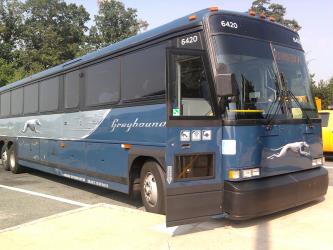
Bus from San Francisco Bus Station to Reno Amtrak
- Ave. Duration
- 5h 55m
- Frequency
- Twice daily
- Estimated price
- $40–60
- Website
- Greyhound
Rome2Rio's guide to Amtrak
Contact DetailsContact Details
- Phone
- +1 800-872-7245
- Website
- Amtrak
Bus from Sacramento to Reno
- Ave. Duration
- 3h 10m
- Frequency
- Twice daily
- Website
- Amtrak
Want to know more about travelling around United States
Rome2Rio's Travel Guide series provide vital information for the global traveller. Filled with useful and timely travel information, the guides answer all the hard questions - such as 'How do I buy a ticket?', 'Should I book online before I travel? ', 'How much should I expect to pay?', 'Do the trains and buses have Wifi?' - to help you get the most out of your next trip.
Related travel guides
Travelling to the US: What do I need to know?
Read the travel guide
Why you should take the train in the US
Read the travel guide
Need to know: Greyhound
Read the travel guide