
There are 2 ways to get from Pincher Creek to Trail by bus, taxi, or car
Select an option below to see step-by-step directions and to compare ticket prices and travel times in Rome2Rio's travel planner.
Questions & Answers
The cheapest way to get from Pincher Creek to Trail is to drive which costs $85 - $130 and takes 5h 25m.
The fastest way to get from Pincher Creek to Trail is to drive which takes 5h 25m and costs $85 - $130.
The distance between Pincher Creek and Trail is 442 km. The road distance is 439.6 km.
The best way to get from Pincher Creek to Trail without a car is to bus and taxi which takes 5h 56m and costs $240 - $310.
It takes approximately 5h 56m to get from Pincher Creek to Trail, including transfers.
Trail is 1h behind Pincher Creek. It is currently 11:16 AM in Pincher Creek and 10:16 AM in Trail.
Yes, the driving distance between Pincher Creek to Trail is 440 km. It takes approximately 5h 25m to drive from Pincher Creek to Trail.
There are 35+ hotels available in Trail.
What companies run services between Pincher Creek, AB, Canada and Trail, BC, Canada?
There is no direct connection from Pincher Creek to Trail. However, you can take the bus to Salmo, BC - 519 Railway Ave then take the taxi to Trail. Alternatively, you can drive from Pincher Creek to Trail in around 5h 25m.
- Phone
- +1 778 382 7729
- [email protected]
- Website
- mountainmanmikes.ca
Bus from Pincher Creek, AB to Salmo, BC - 519 Railway Ave
- Ave. Duration
- 5h 20m
- Frequency
- Once a week
- Estimated price
- $130–180
- Website
- https://mountainmanmikes.ca/
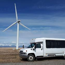
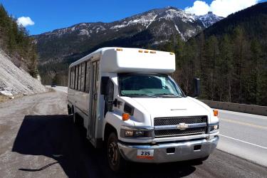
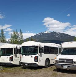
- Ave. Duration
- 36 min
- Estimated price
- $110–130
Want to know more about travelling around the world?
Rome2Rio's Travel Guide series provide vital information for the global traveller. Read our range of informative guides on popular transport routes and companies - including How do I get from Sydney to Melbourne, Best ways to travel around Australia, and Travel Insider: Top Japan travel tips by Beatrix Holland - to help you get the most out of your next trip.